Roaming Around Hájek – A New Educational Trail in Prague
There are a number of places on the outskirts of Prague that make you forget you are officially still within the boundaries of the capital city – picturesque dales cut through by brooks; farmland with untilled margins and solitary trees; hamlets and villages. One such place is the area around Hájek u Uhříněvsi, a municipality on the eastern edge of Prague. You’ll be drawn there by the latest educational trail built by the Czech Union For Nature Conservation (ČSOP) within the NET4GAS Closer to Nature programme. It was presented to the general public during a festive ceremony.
Along the Roaming Around Hájek educational trail, you will find six stations with loads of interesting information about the local landscape, and more generally about nature conservation. The creators worked with pupils at Jandus Brothers elementary school in Uhříněves, who contributed drawings of the supernatural beings whose role it is to bring the local landscape, nature, and history closer to child visitors. Having said that, knowledge acquisition is only part of the story, as living the experience is equally important… which is why the individual stations along the trail have been conceived as interactive features. Fun, games, and tasks are designed such that even pre-schoolers (with a bit of adult assistance) get something out of them.
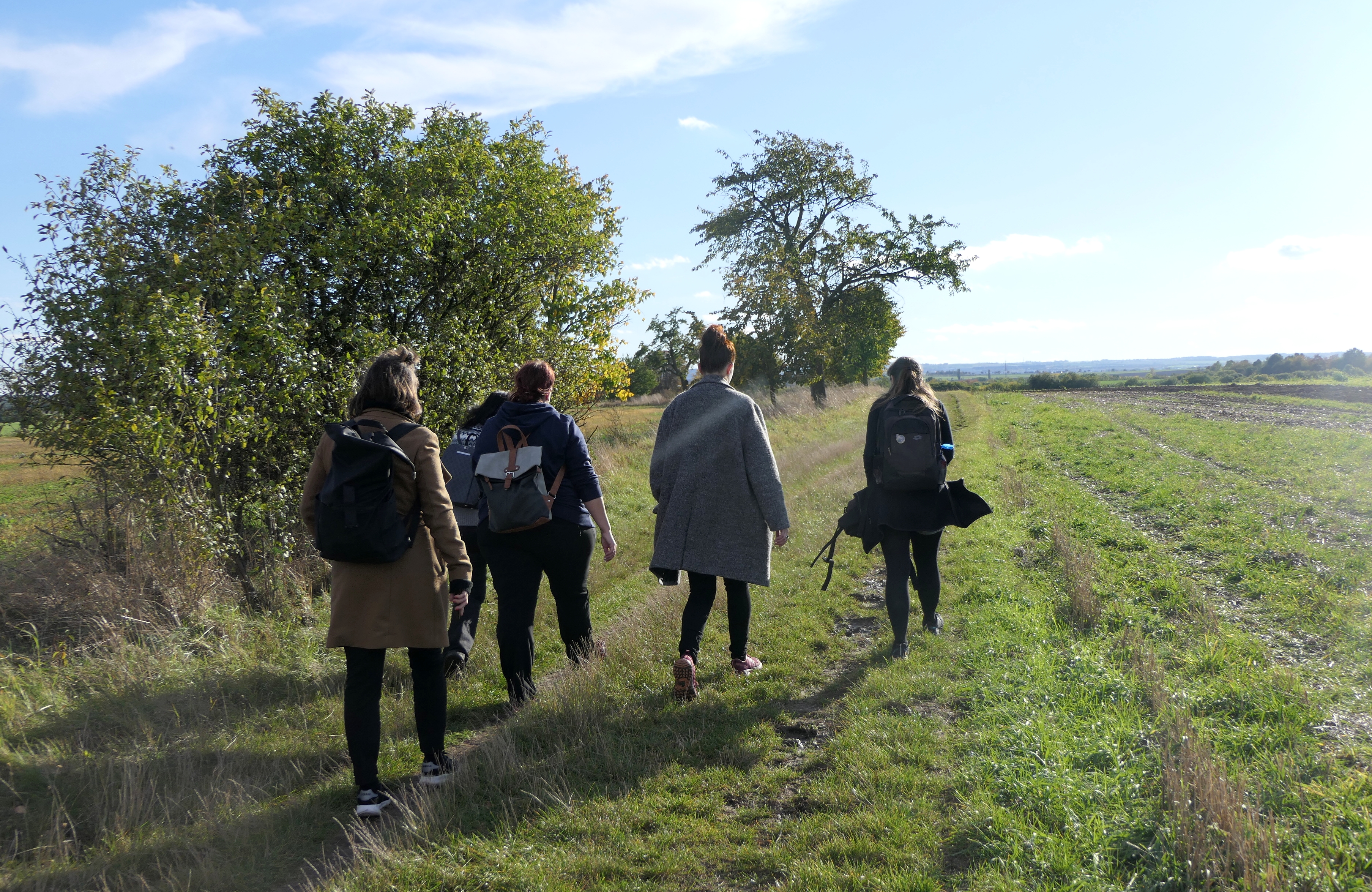
The first info panel on the trail, which has two maps on it – a contemporary one, with the trail highlighted, and a historical map from 1783 – is devoted to the history of Hájek. The next stop is at a meadow right next to the Rokytka brook, and is concerned with the phenomenon of communication networks (biocorridors) in nature (with river valleys typically being considered among them). This panel has two sides: one is largely descriptive, whereas the flip side introduces the youngest visitors to the background of wildlife migration in the form of little games and quizzes. Further afield, the trail crosses the Rokytka via a concrete footbridge – the only place along the route where the stream can be passed on dry foot. It then turns to the left to lead along waterlogged meadows and pastures, scouring a little forest before leading into an open landscape of farm fields. At the junction, a game table introduces you to the birds of prey that can be spotted in the local skies, and teaches you how to tell them apart by their silhouettes. The first half of yet another – rotating – info panel, erected at the resting place "U Tří kaštanů" (Under the Three Chestnut Trees), deals with field margins and hedgerows. The aforementioned trio of trees (two of which are centenarians) form such a striking landmark that the second half of the info panel rightfully belongs to it. Later, the trail dives into a maze of gnarly fruit trees and bushes which in some places feels almost dream-like. The tale of this arboreal labyrinth is told by yet another panel, placed right at the entrance. The last info panel along the trail is found near the wall of an early Přemyslid hillfort. An illustration lets you peek into what life on the hillfort was like, while a devious little imp tests your observation skills. All that is left is to return to Hájek – that is, to cross the field, walk back through forest vegetation to the Rokytka, and then to the right up to the familiar concrete bridge.
The trail consists of a circuit of about 3.5 kilometres. The official starting point lies on the village square of Hájek (which can be reached by public transport, taking the 229 or 366 bus from the Depo Hostivař metro terminus). However, the trail may alternatively be approached as a detour (or 'side quest') from the hiking route (marked in red) that runs from Uhříněves, via Královice and Koloděje, to the Klánovice forest, to which a part of the new trail runs parallel.
The info panels on the ground will soon be complemented by a special add-on – a virtual game currently in production, which excursion lovers will be able to launch via QR code on the website geofun.cz.